Technological Advancements in Forestry: Drones
- May 29, 2024
- •
- by Columbia Forest Products
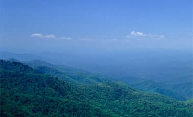
Significant change has occurred in the world of forestry over the past couple of decades. These changes often lead to greater results for landowners, manufacturers and wood product customers. Drones are just one of many advancements Columbia Forest Products is delving into.
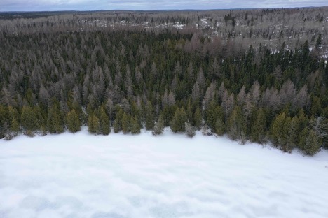
Forestry and tourism are two natural resource-based industries that must often come together for successful outcomes. One such case came about when Columbia was conducting forestry operations in Northern Ontario around a remote tourism lake.
Such remote lakes are hotspots for tourists who come to admire nature and fish. Tourism clients are so zealous that they fly to and land on these wilderness lakes, which are restricted for road access. This tourism is important to the local economy.
Forestry operations must be carried out carefully to protect the aesthetic area around the lake. From the beginning, Columbia has worked closely with the tourism outfitters to reach solutions that would properly manage the forestry operations with the needs of all parties in mind. One new technology solution is drones.
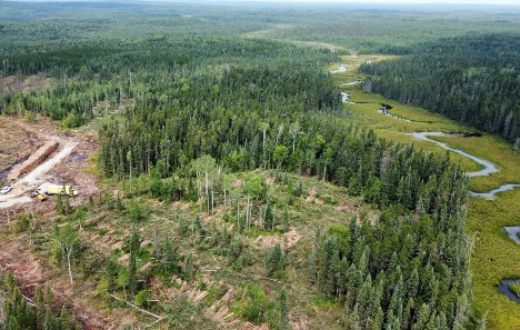
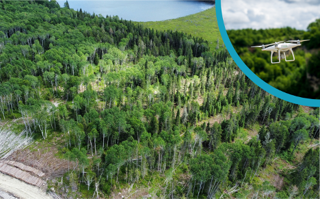
Columbia used drones to photograph and record the area around the lake and then model what it would look like after harvesting. This ensured that no areas that would compromise the lake view were harvested.
This collaboration triumph led to an outcome that benefited all parties and left visitors with the same great remote view they expected. At the same time, Columbia was able to harvest in the sustainable area and supply the local mills with logs to make quality wood products.
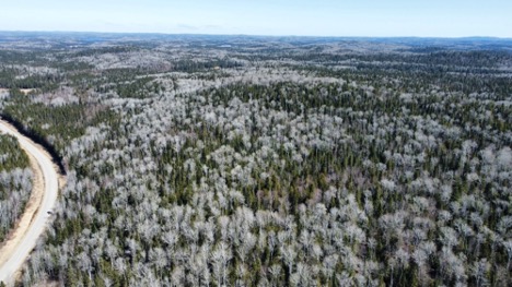
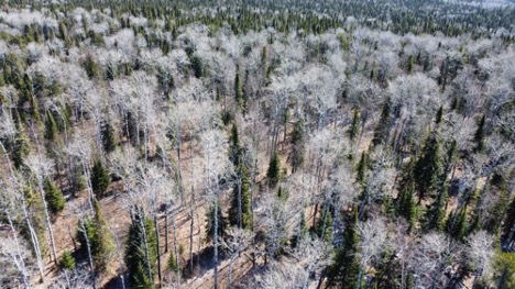
Drone footage has also been useful for cruising and access planning. Historically, when cruising a patch of timber, foresters had to traverse the terrain entirely on foot and take notes (often handwritten) of the trees they observed.
Today, they can use drones to cover ground more efficiently and plan the locations of roads and water crossings. This, combined with satellite imagery, leads to more efficient use of resources by allowing foresters to accurately assess a timber stand’s quality and value.